Blog
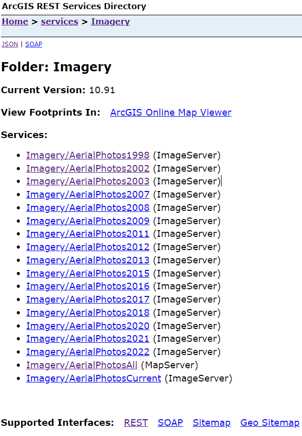
Creating custom FarmOS satellite tiles
FarmOS
Ubuntu
Self Hosting
Git
map tiles
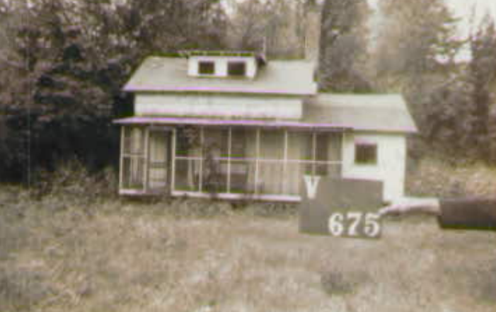
satellite imagery
ArcGIS
REST
Henrico
How to install a custom FarmOS module
FarmOS
Ubuntu
Self Hosting
Git
map tiles
satellite imagery
Docker
Time series box plot using R’s ggplot2
R
ggplot2
chart junk
time series
Varina LandLab LIDAR
R
lidR
sf
terra
rayshader
LIDAR
map projections
Henrico
spatial
Connecting Google Sheets and GitHub Actions
R
Web scraping
GitHub Actions
Google
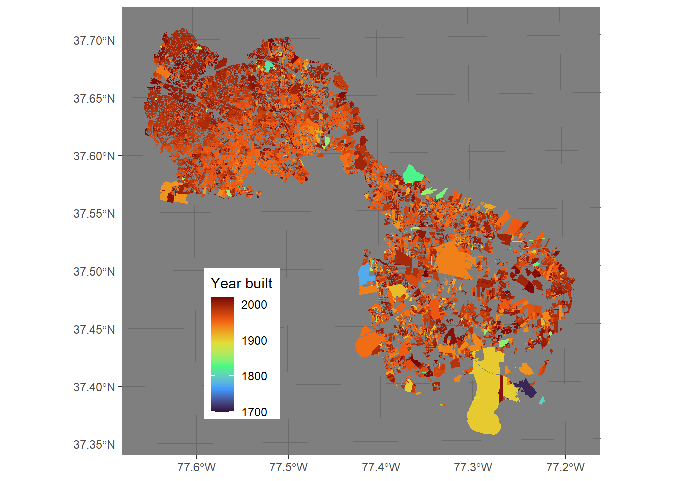
Age of Henrico County Virginia’s structures
R
Henrico
Web scraping
Land use
geoarrow
arrow
No matching items


